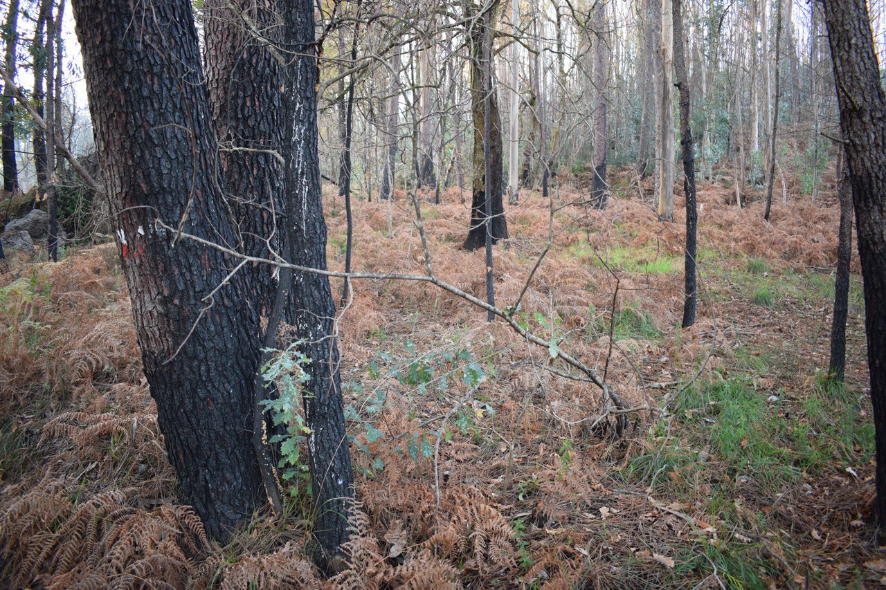
Every summer, and increasingly in other seasons, we find news about wildfires that affect our forest. In this context, Galicia is the autonomous Community with a larger number of wildfires, whereof the vast majority are produced for human causes. This issue generates an undeniable need to analyze the causes and try to seek solutions for palliate their consequences or preventing their occurrence.
Is it possible predict the location of wildfires? Is not possible with the accuracy that we would like, but we can design models for know the areas with a greater probability of being burned. In this sense and in relation with my Final Master Project in the University of Alcalá, we elaborated a methodology for estimate de risk of wildfire ignition in Galicia. This research was published in Revista Geográfica del Sur.
In this project was analyzed the natural and the human determinants for design a model of ignition. As intermediate results can be highlighting that Pontevedra province and west of Ourense are the zones with the major ignition risk for human causes, while in the oriental extreme of Ourense is where the natural wildfires have de greatest importance.
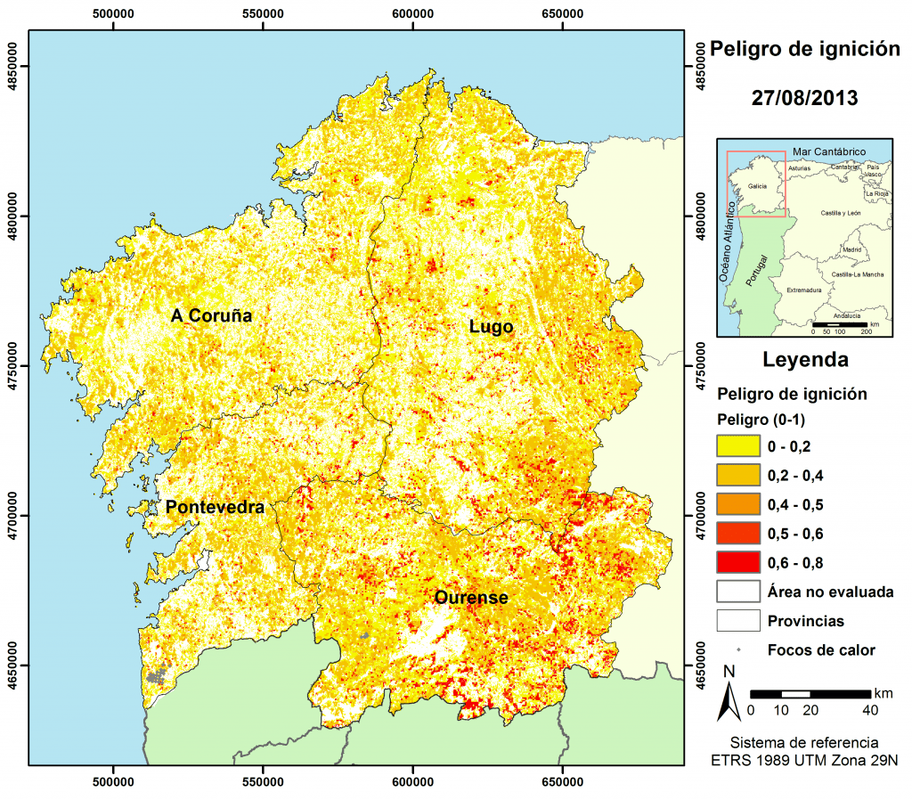
From a start data in relation to temperature and relative humidity, we were able to generate daily models for ignition risk. With this information can know the most favorable areas to a wildfire starts, as could be show in the next example.


One thought on “Wildfires, a current problem”