Illas cíes

Pontevedra

WHAT DOES IT INVOLVE?

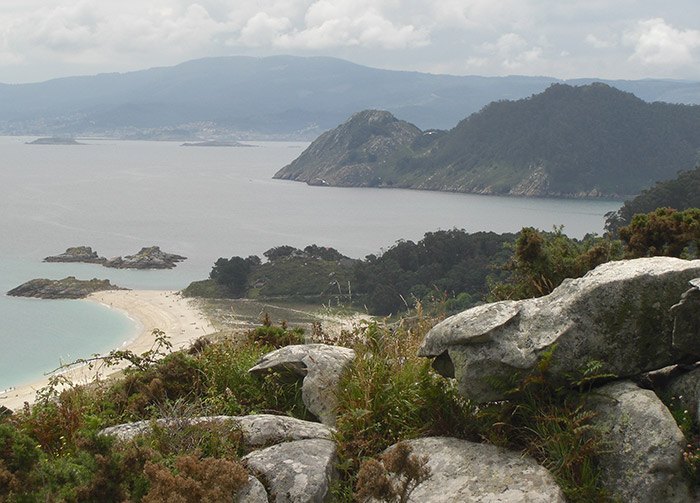
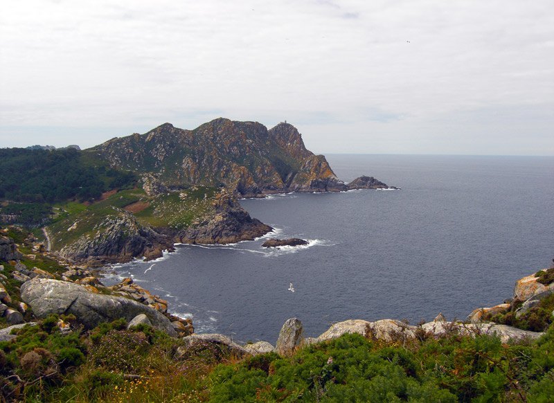
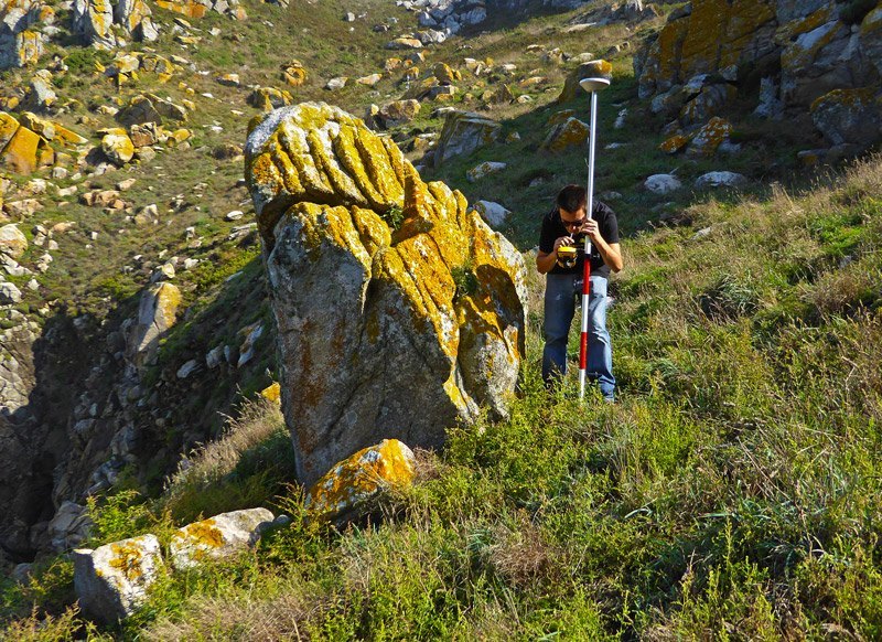
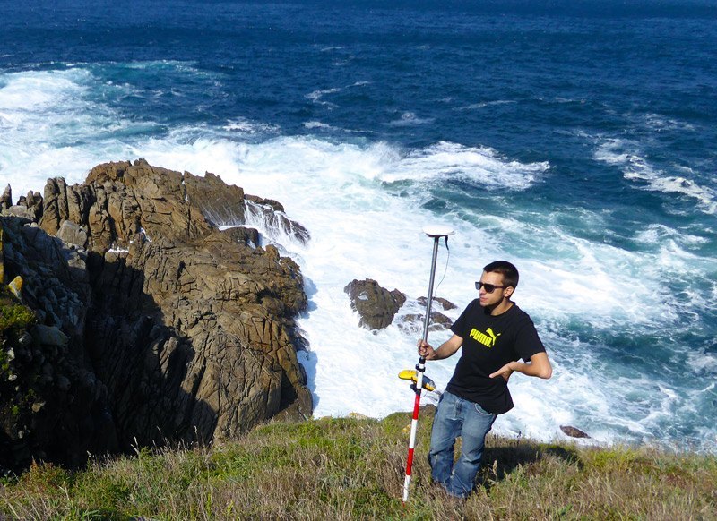
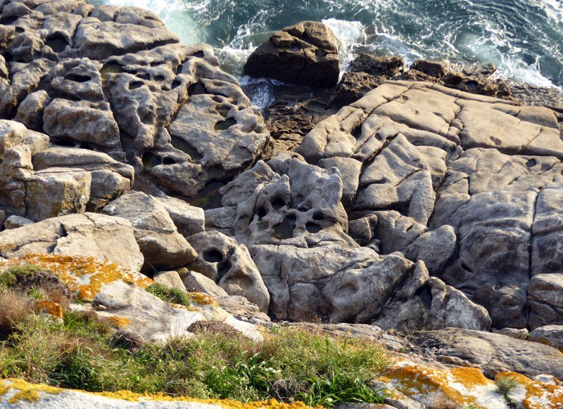
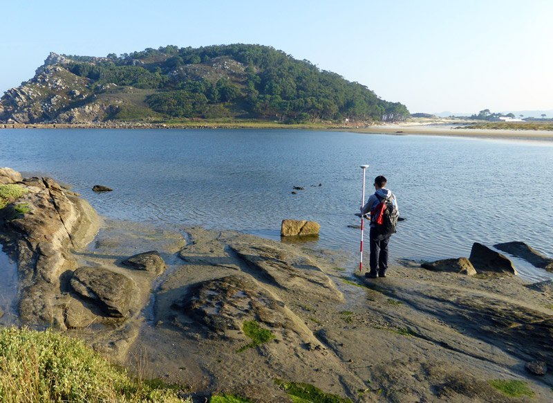
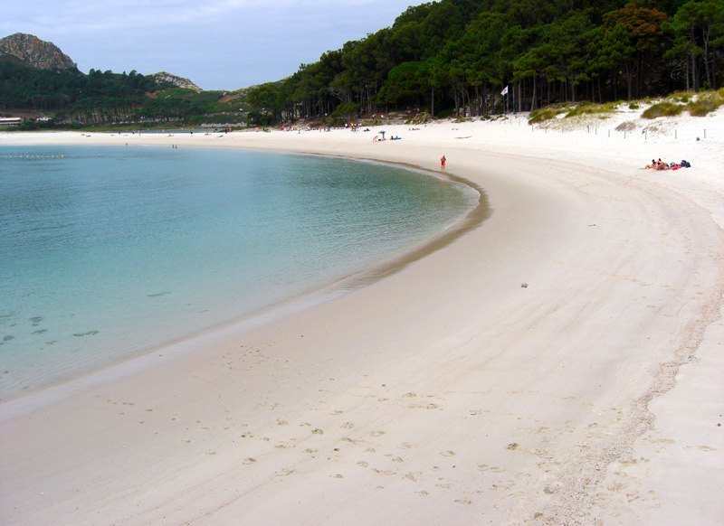
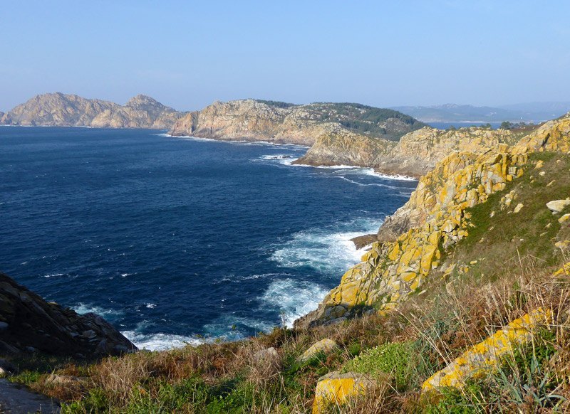
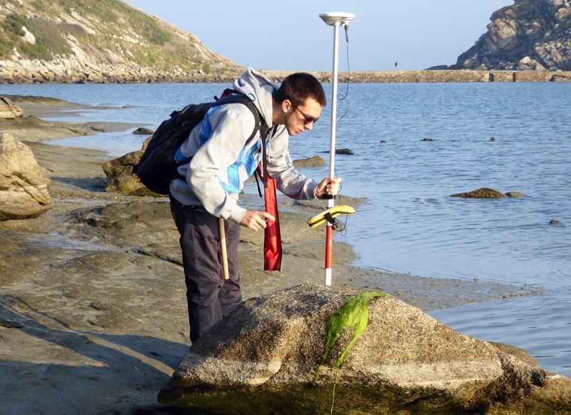
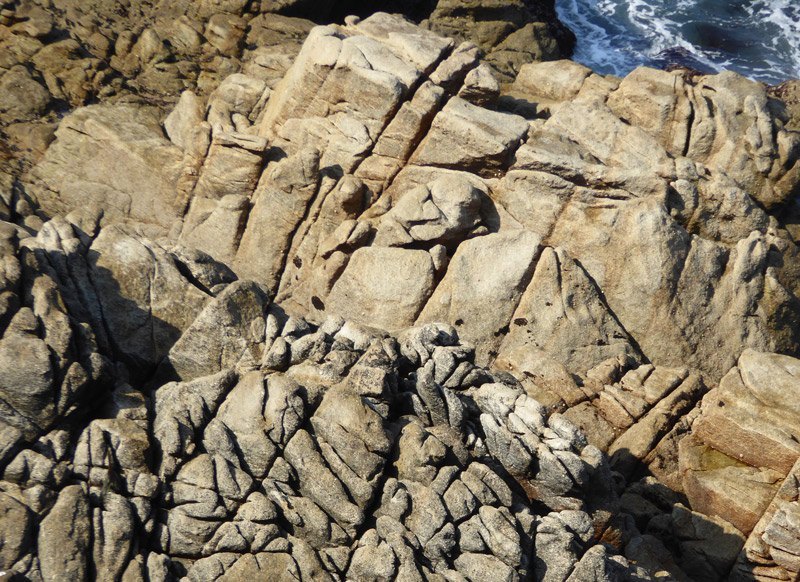
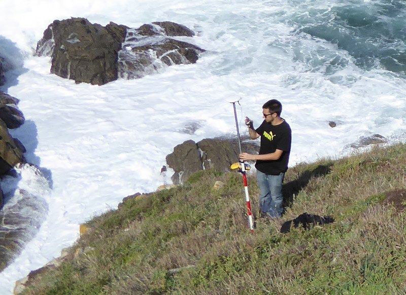
In this research, we created a semiautomatic methodology for characterization coastal sectors using GIS systems. The fundamental data are aerial orthophotographies (PNOA) and LiDAR data for generate Digital Elevation Models (DEM). In this study employed as pilot area Cies Islands.

“Cies Islands present 10 different types of coast.”

FOR KNOW MORE

The definition of coastal types was made considering elevation and slope of Cies Islands. In this zone can distinguish 10 types in relation to their shape and associated elements, as shore platforms or sedimentary accumulations.


This differentiation helps to comprehension the different dynamics that exist in the islands and shows clearly the difference between the expose (most abrupt) and sheltered vert (with sedimentary accumulations).

CURIOSITIES

*

The west part of archipelago presents the most abrupt zones.

*

Sedimentary beaches are in the vert most protected from the storms.

GALLERY