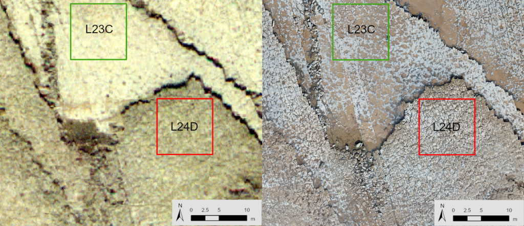
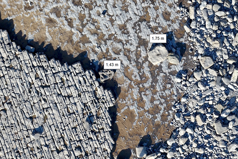
The Glamorgan shore platform is in the Bristol Channel, South Wales, UK. This sector is part of Glamorgan Heritage Coast, that is contain in Jurassic Blue Lias Limestone. The analyzed sector is about 500 m in lenght and 50000 m2 and includes only the shore platform area, and do not considered the backed cliffs.
This study developed a series of new, semi-automated methods for quantitatively analysing the contribution of rock weathering processes and geological control on shore platform evolution and boulder production.
The employed data allowed us to quantify: 1) erosion rates; 2) spatial variability in geomorphological features and geological control parameters; 3) PCAs analysis; and 4) combine the platform data with the pyDGS data to quantitatively assess the contribution of shore platform into the rock coast sediment system.
Results show multi-decadal (1981-2018) erosion rates vary spatially and between layer, where layer 24 shows the higher erosion in seaward plot (-0.023 m yr-1) while the layer 23 shows the higher erosion in the most landward (-0.027 m yr-1) and seaward plots (-0.032 m yr-1).

PCA analysis shows that the three first components accounted for 78.9% of the variance. The most important parameters driving shore platform evolution (including both layers) in PC1 were distance from cliff and elevation with -0.66 and 0.66, respectively. There are relevant differences between both layers, in layer 24, distance from cliff have positive value and elevation negative, while in layer 23 distance from cliff are negative and elevation is positive.
